- Building - Construction >
- Construction tool >
- GNSS surveying system
GNSS surveying systems
{{product.productLabel}} {{product.model}}
{{#if product.featureValues}}{{product.productPrice.formattedPrice}} {{#if product.productPrice.priceType === "PRICE_RANGE" }} - {{product.productPrice.formattedPriceMax}} {{/if}}
{{#each product.specData:i}}
{{name}}: {{value}}
{{#i!=(product.specData.length-1)}}
{{/end}}
{{/each}}
{{{product.idpText}}}

... the creation of mesh models by generating high-quality point clouds. Powered by a 45 MP orthographic internal camera, the system provides high-resolution image mapping textures for efficient 3D model reconstruction with ...

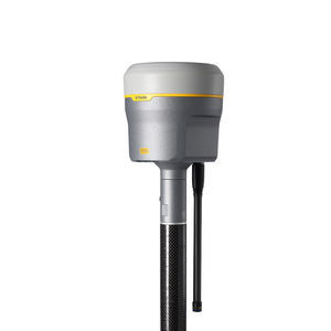
The Trimble® R980 GNSS system unlocks peak accuracy and productivity for land surveyors with proven GNSS performance. Overcoming challenging GNSS conditions and excelling ...
Trimble

R26 Surveying System Rover+Base R26 integrated Beidou/GNSS receiver is a built-in large-capacity battery, large-capacity memory card, integrated multi-functional high-precision inertial ...
SMAJAYU(SHENZHEN) CO.,LTD

●Outstanding Waterproof Capability ●Extremely Rugged Housing ●Advanced OLED Screen ●Inbuilt Radio Transmitter ●Inbuilt Double Batteries ●Inbuilt GPRS/GSM Module New S86 Adhering to the excellent quality and creating the ...

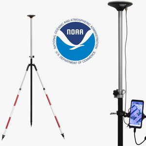
With the RTK Base-Rover Calibrated Surveyor Kit you will have everything you need to start your surveying tasks with RTK and centimeter level accuracy. You can use your preferred Android app to power and connect to the ...

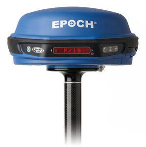
... Precision Survey Pro field software * Support for all GNSS data with Spectra Precision Survey Office software The Spectra Precision® EPOCH® 50 GNSS system, with its 220 channels, ...
Spectra Precision
Your suggestions for improvement:
Receive updates on this section every two weeks.
Please refer to our Privacy Policy for details on how DirectIndustry processes your personal data.
- Brand list
- Manufacturer account
- Buyer account
- Our services
- Newsletter subscription
- About VirtualExpo Group


Please specify:
Help us improve:
remaining