- Detection - Measurement >
- Position, Speed and Acceleration Measurements >
- Lightweight inertial navigation system
Lightweight inertial navigation systems
{{product.productLabel}} {{product.model}}
{{#if product.featureValues}}{{product.productPrice.formattedPrice}} {{#if product.productPrice.priceType === "PRICE_RANGE" }} - {{product.productPrice.formattedPriceMax}} {{/if}}
{{#each product.specData:i}}
{{name}}: {{value}}
{{#i!=(product.specData.length-1)}}
{{/end}}
{{/each}}
{{{product.idpText}}}
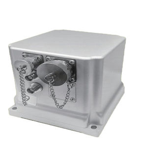
... integrated navigation system developed by Bewis for the aerial mapping, unmanned aerial vehicles, sea-based and roadbed. Built-in three-axis fiber optic gyroscope, three-axis accelerometer The BW-GI1140 ...
Wuxi Bewis Sensing Tecnology LLC
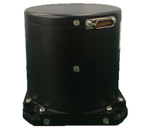
... integrated navigation system developed by Bewis for the aerial mapping, unmanned aerial vehicles, sea-based and roadbed. Built-in three-axis fiber optic gyroscope, three-axis accelerometer, The BW-GI940 ...
Wuxi Bewis Sensing Tecnology LLC
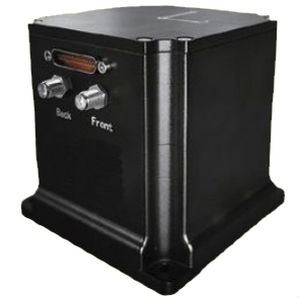
... integrated navigation system developed by Bewis for the aerial mapping, unmanned aerial vehicles, sea-based and roadbed. Built-in three-axis fiber optic gyroscope, three-axis accelerometer, The BW-GI910 ...
Wuxi Bewis Sensing Tecnology LLC
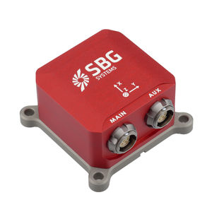
External GNSS for Navigation Ellipse-E is a versatile miniature Inertial Navigation Sensor that connects to external GNSS receiver to provide navigation data, and ...
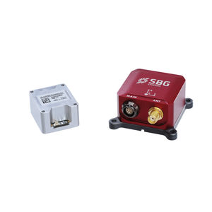
Single Antenna RTK GNSS Ellipse-N is a compact and high-performance RTK Inertial Navigation System (INS) with an integrated Dual band, Quad Constellations GNSS receiver. It provides ...
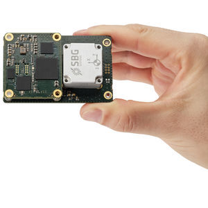
Optimized Size for Direct Georeferencing Quanta Plus combines a tactical MEMS IMU with a high-performance GNSS receiver to get reliable position and attitude, even in harshest GNSS environments. Its ...
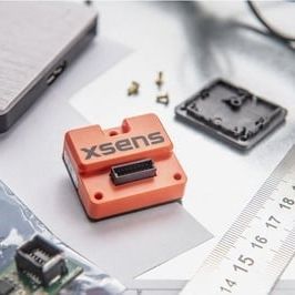
... data As one of our highest-performing inertial measurement units (IMU), the all-in-one MTi-610 provides calibrated data on the 3D rate of turn, acceleration, and magnetic field. Easy to integrate It’s lightweight, ...
XSENS
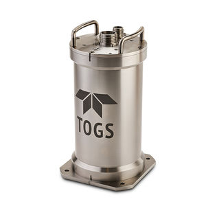
... power consumption Easy to use common TSS embedded browser interface The new TOGS subsea navigation system is built on core TSS fibre optic gyro (FOG) navigation technology with significant ...
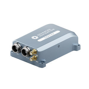
... instability prevention to ensure stable and reliable data. High-Performance MEMS Certus contains high performance MEMS sensors that are put through Advanced Navigation’s intensive ...
Advanced Navigation
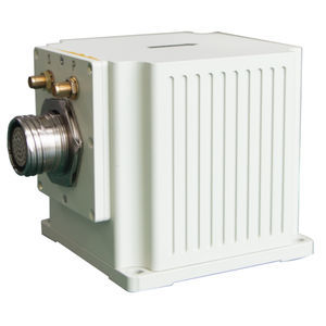
... of navigation technology with the Type 50 Optical Fiber Integrated Navigation System, enabling you to unlock new levels of precision and efficiency in your operations. MAIN FUNCTION The ...
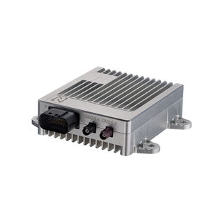
... algorithm, iNav is designed to provide precise and reliable positioning and heading results for autonomous vehicles. Compacted, light-weight and rugged design ensures durability and stability, which conforms to the automotive ...
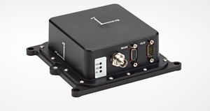
... integrated, single box solution. The SPAN-IGM-A1 offers tightly coupled GNSS inertial navigation featuring our OEM615 receiver. The smallest and lightest GNSS+Inertial Navigation ...
Your suggestions for improvement:
the best suppliers
Subscribe to our newsletter
Receive updates on this section every two weeks.
Please refer to our Privacy Policy for details on how DirectIndustry processes your personal data.
- Brand list
- Manufacturer account
- Buyer account
- Our services
- Newsletter subscription
- About VirtualExpo Group


Please specify:
Help us improve:
remaining