- Robotics - Automation - Industrial IT >
- Service Robotics >
- Mapping UAV
Mapping UAVs

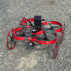
... technology, this drone is capable of scanning and mapping in GPS-denied areas. The drone operates at 2.4 GHz radio with circularly polarized antenna. It is capable of flying in non line-of-sight ...
CLICKMOX
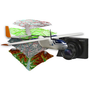
... daily data collection this drone is compatible with Sony RX100 and Micasense Rededge cameras. Its airframe made of foam is rugged, durable, easy to repair and adapted to harsh environments. A Ready-to-Use package for ...
Sunbirds
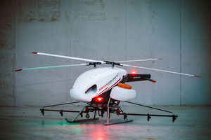
Endurance: 150 min
Payload: 0 kg - 50 kg
Our VTOL (Vertical Take Off and Landing) SDO 50V2" is a multi purpose, single engine unmanned helicopter system below 150 kg maximum take off weight, that can be operated within or beyond visual line of sight. The unique design features ...
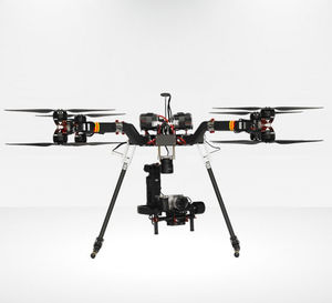
Endurance: 30, 36, 44, 50, 20 min
Payload: 15 kg
This UAV is a powerful and versatile tool for your future benefits. The GX8 is equipped with a gryphon chassis. This chassis is one of the thoughest and best engineered of the market for anything related to heavy luggage ...
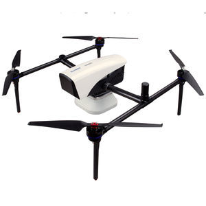
Endurance: 50 min - 60 min
Payload: 0 kg - 3 kg
Based on K8 platform, ComNav released a powerful and reliable UAV solution capable for photo position at centimeter level, providing high-precision results for the users. Featuring with high accuracy, strong compatibility, ...
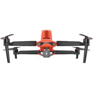
Endurance: 0 min - 36 min
Payload: 1,237 g
... pair Create Point Clouds, Orthoimages, TINs, Linework, and More With Carlson PhotoCapture With Carlson PhotoCapture drone photo processing software, you can use the date collected with your EVO II Pro RTK to: • ...
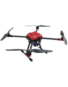
Endurance: 30 min
Payload: 2.5 kg
● Compact and light, free from UAV weight limitations in most markets ● Extremely durable fiberglass upper cover and carbon fiber airframe ● Modular structure, easy to assemble and maintain ● Ideal for flight ...
South Surveying & Mapping Instrument Co., Ltd
Your suggestions for improvement:
Receive updates on this section every two weeks.
Please refer to our Privacy Policy for details on how DirectIndustry processes your personal data.
- Brand list
- Manufacturer account
- Buyer account
- Our services
- Newsletter subscription
- About VirtualExpo Group


Please specify:
Help us improve:
remaining