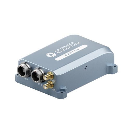
Certus is a dual antenna GNSS/INS that provides accurate position, velocity, acceleration, and orientation under the most demanding conditions.
Roll & Pitch
0.1 °
Heading (GNSS)
0.1 °
Bias Instability
3 °/hr
Position Accuracy
10
Certus combines temperature calibrated accelerometers, gyroscopes, magnetometers, and a pressure sensor with a dual antenna GNSS receiver. These are coupled in an AI-based fusion algorithm to deliver accurate and reliable navigation data. It features low SWaP-C (Size, Weight, Power, and Cost), internal data logging, and multiple communication interfaces for easy integration. Certus is available in both OEM and rugged packages and comes standard with license-free 1 cm RTK position accuracy. Certus Dual Antenna GNSS/INS is compatible with our post-processing kinematic (PPK) software Kinematica.
Features
AI Navigation Algorithm
Certus features Advanced Navigation’s revolutionary AI neural network sensor fusion algorithm. It was designed for control applications and has a high level of health monitoring and instability prevention to ensure stable and reliable data.
High-Performance MEMS
Certus contains high performance MEMS sensors that are put through Advanced Navigation’s intensive 8 hour temperature calibration process. This provides the highest accuracy possible from this sensor class and outputs consistent accuracy over the full temperature range from -40°C to 85°C.
Dual Antenna RTK GNSS
Certus contains a dual frequency RTK GNSS receiver that provides up to 1 cm accuracy positioning and supports all of the current and future satellite navigation systems, including GPS, GLONASS, GALILEO, BeiDou and QZSS.


