
- Products
- Catalogs
- News & Trends
- Exhibitions
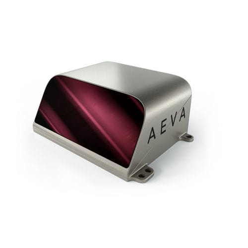
High-resolution LIDAR sensor Aeries™ IIindustrialfor autonomous navigation

Add to favorites
Compare this product
Characteristics
- Other characteristics
- industrial, high-resolution, for autonomous navigation
Description
The World’s First 4D LiDARTM With Camera-Level Resolution
Revolutionary 4D LiDAR Technology
Leveraging Aeva’s unique Frequency Modulated Continuous Wave (FMCW) 4D technology and the world’s first LiDAR-on-chip silicon photonics design, Aeries II’s capabilities go beyond today’s legacy Time-of-Flight LiDAR sensors.
Camera-Level Ultra ResolutionTM
Aeva’s proprietary 4D Perception™ software delivers real-time camera-level resolution that provides up to 20 times the resolution of legacy LiDAR sensors, enabling automated vehicles with unique capabilities like small road hazard detection at highway speeds and up to twice the distance of what is possible today. Toggle between Ultra Resolution views of Reflectivity, Velocity and Distance for the 4D LiDAR data set below.
Vehicle Motion
Estimation & Navigation
Per point velocity data enables real-time ego vehicle motion estimation with six degrees of freedom and enables accurate vehicle positioning and navigation in GPS denied and featureless environments without additional sensors, like IMU or GPS.
High Confidence Detection,
Classification, & Tracking
Instant velocity data allows for high confidence detection and tracking of dynamic objects of concern, such as oncoming vehicles and pedestrians, at distances up to 500 meters.
Identify Small Objects
with Greater Confidence
Detect small objects on the road, including low reflectivity objects like tire fragments, at up to twice the distance of legacy time of flight LiDAR sensors.
VIDEO
*Prices are pre-tax. They exclude delivery charges and customs duties and do not include additional charges for installation or activation options. Prices are indicative only and may vary by country, with changes to the cost of raw materials and exchange rates.
