
- Products
- Catalogs
- News & Trends
- Exhibitions
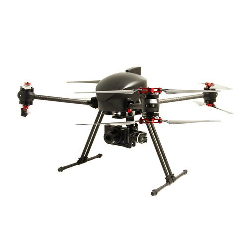
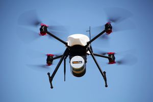
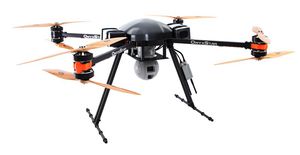
Octorotor UAV XENA Geomapping
Add to favorites
Compare this product
Characteristics
- Type
- octorotor
- Applications
- mapping
- Endurance
27 min, 30 min, 32 min
Description
Working in the demanding GIS (Geographic Information Science) field involves a quest for precision, quality and accuracy.
Gathering geodata in a quick, reliable and efficient way is essential. Following the drone market rapid expansion, geomatics were soon added to the numerous operating fields.
Ultra high resolution
Thanks to its technical characteristics and performance, the XENA Geo is the ultimate tool for expert surveyors. It is a compact, precise and powerful system, built to collect accurate and useful aerial raw materials for GIS-related applications like photogrammetry, 3d modelling, mapping, etc.
The XENA Geo is a professional, precise and versatile system that embeds ultra high resolution cameras like Sony RX 100 II (20.2 Mpx), Sony Alpha 6000 (24.3 Mpx) or the Sony A7 II (24.3 Mpx). The solution is delivered together with quality software for post-processing the data collected like Pix4Dmapper PRO and Agisoft PhotoScan
*Prices are pre-tax. They exclude delivery charges and customs duties and do not include additional charges for installation or activation options. Prices are indicative only and may vary by country, with changes to the cost of raw materials and exchange rates.


