Database software TcpMDT Professionalsurveyingfor civil engineering3D

Add to favorites
Compare this product
Characteristics
- Function
- database
- Applications
- surveying, for civil engineering
- Type
- 3D, 2D
- Other characteristics
- AutoCAD
Description
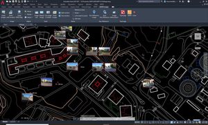
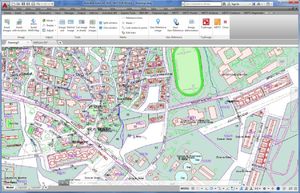
MDT is an application running on AutoCAD, BricsCAD, GstarCAD or ZWCAD, and has a wide range of easy-to-use tools. Its modular structure allows users to choose the most suitable options for their work.
It includes all features of standard version and provides tools for designing horizontal and vertical alignments, drawing the project templates, area and volume reports, setting-out, virtual tour, measurements and quotations, water, sewerage and rainwater networks, etc. This software is suitable for all kind of surveying projects for roads, urbanizations, quarries... It is easily integrated into OpenBIM workflows, through exchange of IFC and LandXML files.
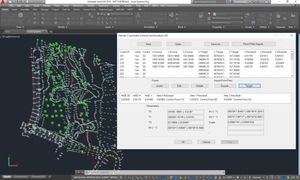
It is very useful for processing total station observations, calculat-
ing point coordinates and compensating traverses and networks. It
also allows you to perform coordinate transformations and include
the E PSG database with global coverage of reference systems,
organized by countries.
VIDEO
Catalogs
No catalogs are available for this product.
See all of Aplitop‘s catalogsRelated Searches
- Automation software solution
- Management software solution
- Analysis software solution
- Windows software solution
- Computer-aided design software
- Control software solution
- Online software
- Design software solution
- 3D software solution
- Interface software
- Measurement software
- Simulation software
- Visualization software solution
- EDM software
- 2D software
- Creation software
- Reporting software solution
- Modeling software
- Planning software
- Calculation software
*Prices are pre-tax. They exclude delivery charges and customs duties and do not include additional charges for installation or activation options. Prices are indicative only and may vary by country, with changes to the cost of raw materials and exchange rates.


