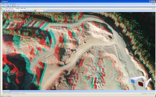
This application allows stereoplotting in CAD platform using aerial photographs with previously defined orientations. It is especially useful for photogrammetric surveys with drones and can be used by public administration and companies specialized in mining, earthworks, hydrology, environment, urban planning and many more.
It is compatible with any graphic card with OpenGL 2.0 (or higher) and anaglyph glasses, NVidia Quadro graphic cards and active glasses systems (such as the one from Volfoni) or professional systems based on dual displays.


