Management software InfoWater Proanalysisinterfacedesign
Add to favorites
Compare this product
Characteristics
- Function
- management, analysis, interface, design
- Applications
- pipe
Description
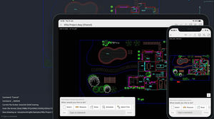
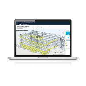
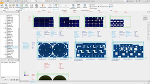
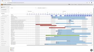
Engineers use Autodesk InfoWater® Pro software to model water distribution systems in an easy-to-use GIS interface.
Leverage spatial analysis tools available in ArcGIS Pro to help with model building and management.
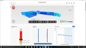
Analyze and understand criticality in your system, including pressure transient events.
Present results clearly and share them in ArcGIS Online.
Why use Autodesk InfoWater Pro?
Easily map and analyze water systems
Map, design, and analyze water distribution systems from within ArcGIS Pro.
Maintain service levels
Ensure adequate pressure to serve customers even during fireflow events.
Increase water system resilience
Find critical system elements and develop a contingency plan.
Seamless GIS data migration to InfoWater Pro
Make the most of your hard-earned GIS data to efficiently build and update your water distribution models, with a 1:1 relationship between InfoWater Pro models and ArcGIS Pro.
Catalogs
No catalogs are available for this product.
See all of AUTODESK‘s catalogsRelated Searches
- AUTODESK automation software
- AUTODESK management software
- AUTODESK analysis software
- AUTODESK process software
- Windows software solution
- AUTODESK CAD software
- AUTODESK control software
- AUTODESK real-time software
- AUTODESK cloud software
- AUTODESK design software
- AUTODESK 3D software
- AUTODESK interface software
- Measurement software
- Industrial software solution
- AUTODESK quality software
- AUTODESK simulation software
- AUTODESK visualization software
- AUTODESK programming software
- AUTODESK automated software
- AUTODESK development software
*Prices are pre-tax. They exclude delivery charges and customs duties and do not include additional charges for installation or activation options. Prices are indicative only and may vary by country, with changes to the cost of raw materials and exchange rates.


