- Robotics - Automation - Industrial IT
- Industrial Software
- Design software
- Bentley Systems Europe B.V.

- Products
- Catalogs
- News & Trends
- Exhibitions
Design software OpenRail Designermodelingnetwork3D
Add to favorites
Compare this product
Characteristics
- Function
- design, modeling
- Applications
- network
- Type
- 3D
- Other characteristics
- high-performance
Description
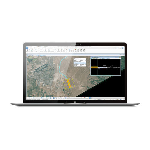
One software application for all your metro, light rail, commuter rail, or high-speed rail design project needs. Save time on the design and maintenance of track, station, and yard assets while significantly increasing productivity.
What is OpenRail Designer?
OpenRail Designer introduces a new, comprehensive modeling environment for streamlined project delivery of rail network assets. This environment unifies design and construction from concept through commissioning and completion.
Advance Your BIM Workflows
OpenRail Designer enables you to easily export digital deliverables, including IFC, to support industry BIM workflows. You can use Item Types to include component attribution for a more efficient, data-rich BIM deliverable. Easily advance your BIM workflows in a digital twin authoring environment while supporting the creation of all traditional and digital design deliverables.
Capabilities
Add real-world digital context
You can bring real-world settings to your project by gathering context data quickly from a variety of sources, such as point clouds, 3D reality meshes, terrain data, images, and geospatial information. Clearly understand existing conditions and accelerate design modeling workflows and integrate geospatial information to ensure that models are precisely geospatially located.
Streamline collaboration across teams
Enable project information sharing across teams, locations, and disciplines with precision and security.
Catalogs
Related Searches
- Bentley automation software
- Bentley management software
- Bentley analysis software
- Bentley process software
- Bentley Windows software
- Bentley CAD software
- Control software solution
- Bentley real-time software
- Bentley cloud software
- Bentley design software
- Bentley 3D software
- Interface software
- Industrial software solution
- Bentley quality software
- Bentley simulation software
- Bentley visualization software
- Programming software
- Automated software
- Development software
- Bentley network software
*Prices are pre-tax. They exclude delivery charges and customs duties and do not include additional charges for installation or activation options. Prices are indicative only and may vary by country, with changes to the cost of raw materials and exchange rates.


