- Robotics - Automation - Industrial IT
- Industrial Software
- Visualization software
- Boschung Mecatronic AG

- Products
- Catalogs
- News & Trends
- Exhibitions
Web-based data acquisition/analysis software RWIS-Appvisualizationreal-timeWindows
Add to favorites
Compare this product
Characteristics
- Function
- web-based data acquisition/analysis, visualization
- Type
- real-time
- Operating system
- Windows
Description
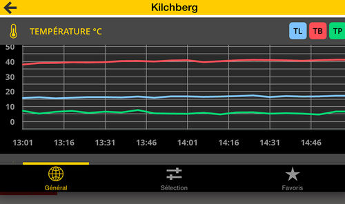
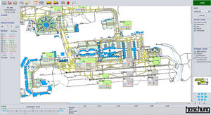
The RWIS App enables the fast mobile visualization of measured data from weather stations of roads and airports on an interactive Google Map.
Description
For use of RWIS APP the customer deposits a special web service access point, username and password to access his data. This enables him to display all his available weather stations on an interactive Google Map as well as the measured data of a station.
Public users have public access to the shared data of the stations.
Therefore users have two access possibilities:
Public for public data access
Professional for extended data access authorization on request (secured access)
*Prices are pre-tax. They exclude delivery charges and customs duties and do not include additional charges for installation or activation options. Prices are indicative only and may vary by country, with changes to the cost of raw materials and exchange rates.

