Geographical data management software suite
land surveyingCAD file importhydraulic

Geographical data management software suite - Carlson Software - land surveying / CAD file import / hydraulic
Geographical data management software suite - Carlson Software - land surveying / CAD file import / hydraulic - image - 2
Geographical data management software suite - Carlson Software - land surveying / CAD file import / hydraulic - image - 3
Geographical data management software suite - Carlson Software - land surveying / CAD file import / hydraulic - image - 4
Geographical data management software suite - Carlson Software - land surveying / CAD file import / hydraulic - image - 5
Geographical data management software suite - Carlson Software - land surveying / CAD file import / hydraulic - image - 6
Geographical data management software suite - Carlson Software - land surveying / CAD file import / hydraulic - image - 7
Add to favorites
Compare this product
 

Characteristics

Function
geographical data management, land surveying, CAD file import
Applications
hydraulic, for civil engineering
Type
2D/3D
Other characteristics
AutoCAD

Description

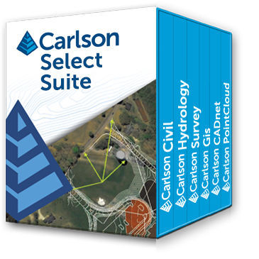
Carlson Software produces a complete suite of solutions for land development professionals across the disciplines of drafting, land surveying, engineering design and construction estimating. With the Select Suite, customers are able to pick and save between two and six modules in order to fit their specific needs and specialization. The eligible modules are Survey, Civil, Hydrology, GIS, CADnet, and Point Cloud Basic. CARLSON SURVEY Work Seamlessly Between the Office and Field A productive and intuitive survey solution with all versions complete with SurvNET Network Least Squares and drivers to connect to essentially every manufacturer’s proprietary hardware and software, Carlson Survey is the #1 office software solution for surveyors in the United States and is gaining in popularity around the world. CARLSON CIVIL Road and Site Design Made Easy Carlson Civil provides the most robust automation and ease-of-use of any civil design solution available today, and it does dynamic updating without a single custom object. Carlson Civil’s wide selection of “power” tools enable users to increase their productivity as they create better road, site, and subdivision designs in less time. CARLSON HYDROLOGY Complete Hydrologic and Hydraulic Solution Carlson Hydrology is a comprehensive, yet easy-to-master hydrologic and hydraulic software solution that works simply in the commonly used CAD environment of polylines, text and layers. Carlson Hydrology provides site drainage and runoff analysis, plus storm drain system design and drafting, and pond design and sizing.
Catalogs

No catalogs are available for this product.

See all of Carlson Software‘s catalogs
*Prices are pre-tax. They exclude delivery charges and customs duties and do not include additional charges for installation or activation options. Prices are indicative only and may vary by country, with changes to the cost of raw materials and exchange rates.