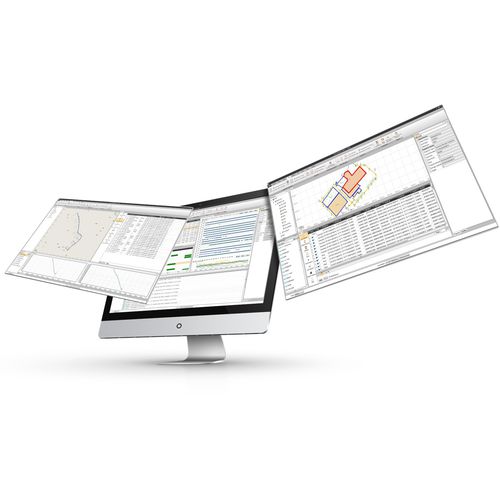
CHC Geomatics Office Software (CGO) 2.0 is a powerful office software solution designed for engineers as an integrated platform to make a link between field and office workflow from multiple sensors and generate rich deliverables.
Key features:
1. PROCESS MASSIVE FIELDWORK DATA
- Integrate GNSS, RTK, ROAD, and UAV modules.
2. DELIVER HIGH-ACCURACY GEODETIC POSITIONS
- Embed the latest algorithms for ultra-fast and reliable data processing.
3. MORE TOOLS FOR EASIER OFFICE WORK
Comprehensive geodetic utility Toolset
4. INTUITIVE WORKFLOW FOR FASTER PROCESS
- Short learning curve and easy-deployment.


