- Company
- Products
- Catalogs
- News & Trends
- Exhibitions
High-resolution LIDAR sensor AlphaAir 450for surveying3Drugged

Add to favorites
Compare this product
Characteristics
- Other characteristics
- high-resolution, for surveying, 3D, rugged, for mapping
- Distance range
450 m
(1476'04" )
Description
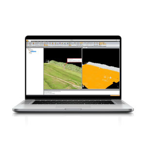
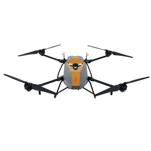
AlphaAir450: Airborne LiDAR system with built-in IMU, GNSS, 3D scanner, and camera
Overview: The AlphaAir 450 (AA450) is a major breakthrough in 3D mobile mapping technology, allowing its use by non-professional users in geospatial reality capture applications and to those who have never been able to access such technology before. The AlphaAir 450 offers ease of use and high precision capabilities at an affordable price point.
AlphaAir 450 is the next generation of CHCNAV LiDAR system, which is widely used for power line inspection, topographic mapping, emergency response, agricultural and forestry surveys, and more. This all-in-one, lightweight and rugged system integrates a high-performance laser scanner with an industrial-grade professional 24 MP camera and a high-precision inertial navigation system for quality data collection.
Key features:
1. Advanced accuracy: Industrial-grade GNSS and high-precision IMU onboard
2. Efficient scanning: Long range scanning combined with high resolution imaging
3. Flexible integration: Quick installation on any UAV
4. Lightest unit in its class: 1 kg total weight with LiDAR and camera
VIDEO
Catalogs
AlphaAir 450
4 Pages
Other CHC Navigation | CHCNAV products
Mobile Mapping | LiDAR and UAV
*Prices are pre-tax. They exclude delivery charges and customs duties and do not include additional charges for installation or activation options. Prices are indicative only and may vary by country, with changes to the cost of raw materials and exchange rates.


