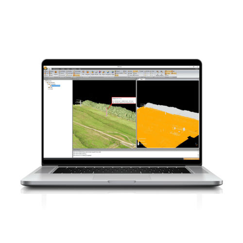
The CoProcess, developed by CHCNAV, is a powerful software solution tailored to post-processing massive point cloud data. As a fully integrated platform, CoProcess seamlessly processes point cloud data captured in the field into various multi-format deliverables. Point cloud management, measurement tools, and visualization are just parts of the software solution, which also features a free configuration viewer. Creation of Digital Elevation Models (DEMs) and Digital Terrain Models (DTMs), semi-automatic feature extraction, automatic data classification, road design, and more are all possible with CoProcess. The software's intuitive interface and advanced processing capabilities make it a valuable tool for professionals from different industries, such as surveying, construction, urban planning, and infrastructure development.


