- Robotics - Automation - Industrial IT
- Industrial Software
- Positioning software
- ComNav Technology Ltd.
- Company
- Products
- Catalogs
- News & Trends
- Exhibitions
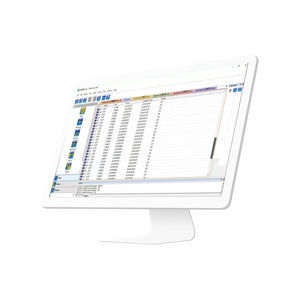
Positioning software Survey Masterland surveyingsurveyingreal-time

Add to favorites
Compare this product
Characteristics
- Function
- positioning, land surveying
- Applications
- surveying
- Type
- real-time
- Operating system
- Android
- Deployment mode
- cloud
- Other characteristics
- high-performance, Bluetooth
Description
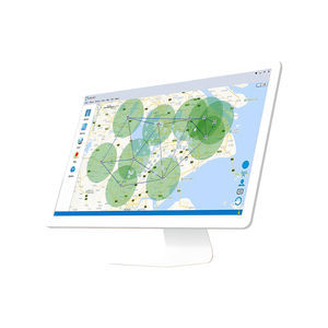
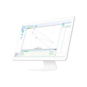
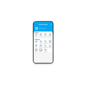
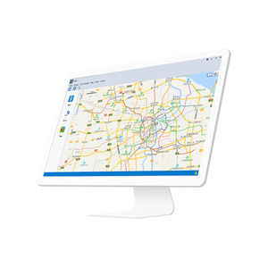
With Suvery Master you can survey through Topo survey/Auto survey, Static and PPK modes; edit and stake points/lines. Also this App provides a convenient way to import/export surveying data files, supporting data formats: TXT, CSV, SHP and AutoCAD DXF.
Compatible with most of Android devices
Easier survey workflow via Wizard function
Support up to 60° IMU tilt compensation
Support all survey modes, including Static, PPK and RTK
Support Surface Stake, Mapping Survey and etc. to serve various survey tasks
Support CAD import and directly use for stake out operations
Support Convert function from ComNavBinary raw file to RINEX
Survey Master has a user-friendly design. Designed with an assistant function, new users can easily complete the entire survey workflow by following the assistant's steps. For professional users, Survey Master is equipped with numerous features to meet various survey tasks
High Compatibility
Developed with an Android structure, Survey Master is compatible with most Android-based devices, such as smartphones and data collectors. Additionally, with NMEA protocol support, Survey Master can be connected to GNSS devices that can output NMEA information
Abundant Functions
In order to work with most survey tasks and satisfy the requirements of users, Survey Master is designed with abundant functions for different work modes including RTK, PPK, static, and applications like road stake,surface stake, topo survey, feature survey and so on
VIDEO
Catalogs
Related Searches
- Management software solution
- Windows software solution
- Computer-aided design software
- Real-time software solution
- Online software
- Design software solution
- Monitoring software solution
- Interface software
- Automated software
- Network software solution
- EDM software
- Calculation software
- Data management software solution
- High-performance software solution
- PLC software
- CAM software
- Server software solution
- Storage software
- Architecture software
- Centralized software solution
*Prices are pre-tax. They exclude delivery charges and customs duties and do not include additional charges for installation or activation options. Prices are indicative only and may vary by country, with changes to the cost of raw materials and exchange rates.


