Land surveying mobile app FLOWcontrolsynchronizationdata collection
Add to favorites
Compare this product
Characteristics
- Function
- control, synchronization, data collection, land surveying
- Deployment mode
- cloud-based
Description
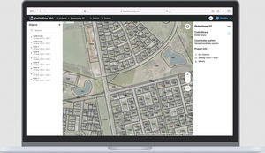
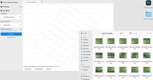
Comes with a cloud-based service for keeping your data in sync.
Looking for the ReachView 3 app?
It is Emlid Flow now
All existing installations will update automatically. Upgrade to the Survey subscription to unlock new features or keep working as before with the forever Free version
Efficient data collection and stakeout
Point collection
Collect points, write detailed descriptions, and perform quality control using our responsive interface. The app has built-in support for projections, grids, and geoids and a library with hundreds of verified coordinate systems.
Collect data and create linework on the go
Measure and move ahead with just a few taps. You can use either predefined geometry types or a full-blown code library, whatever suits your needs.
Line stakeout
Navigating to a line is intuitive. With our visual guides, you can perform stakeout with an offset. The distance along the line indication will help you stake out with chainage.
Forget about memorizing code lists. Your whole library is always at your fingertips
Add codes, quickly switch between different object codes, start new lines, and continue collecting existing ones. Upload your custom code library or use a standard one built into Emlid Flow with more than a hundred codes available from the start.
Related Searches
- Automation software solution
- Process software solution
- Control software solution
- Real-time software solution
- EDM software
- PLC software
- Product lifecycle management software
- App
- Mapping software
- Surveying software
- Data export software
- Synchronization software
- Online mobile app
- Project management software
- Control App
- Data collection mobile app
*Prices are pre-tax. They exclude delivery charges and customs duties and do not include additional charges for installation or activation options. Prices are indicative only and may vary by country, with changes to the cost of raw materials and exchange rates.


