
- Company
- Products
- Catalogs
- News & Trends
- Exhibitions
Engineering software FieldGenius 11modelingdata collectionland surveying


Add to favorites
Compare this product
Characteristics
- Function
- engineering, modeling, data collection, land surveying
- Applications
- construction, surveying
Description
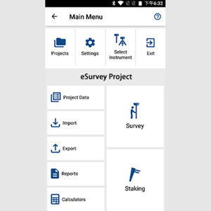
MicroSurvey FieldGenius was designed for Land Surveying, Civil Engineering, Seismic Surveying, and Construction Staking professionals to provide unequalled data collection simplicity and field calculating performance.
Overview
1.Digital Terrain Modeling,Volumes and Contouring
FieldGenius has the ability to create and utilize DTM surfaces from existing survey data or create a DTM in real time as the data is collected. The TIN and contours will automatically update as each new shot is taken.
2.Powerful Roading
FieldGenius roading allows you to manually input or import your alignment data including centerline,vertical and template data. Powerful alignment staking tools help you stake your points along your alignment with confidence
3.lnstrument Control atyour Fingertips
Total Station and GPS functions are available on a common and easy to use instrument toolbar. Access measure modes with the click of a button.
4.Powerful RPN Calculator
FieldGenius includes an easy to use and intuitive RPN calculator. Quick access to the calculator from any edit field makes survey calculations and routines a breeze.
5.User Definable Shortcuts
Increase your productivity by assigning frequently used commands to keys on your data collector.
Catalogs
No catalogs are available for this product.
See all of eSurvey GNSS‘s catalogsRelated Searches
- Automation software solution
- Management software solution
- Process software solution
- Computer-aided design software
- Windows software solution
- Control software solution
- Real-time software solution
- Design software solution
- Measurement software
- Interface software
- Network software solution
- Engineering software
- EDM software
- Modeling software
- Calculation software
- Data management software solution
- Data acquisition software
- Server software solution
- Construction software
- Graphic software
*Prices are pre-tax. They exclude delivery charges and customs duties and do not include additional charges for installation or activation options. Prices are indicative only and may vary by country, with changes to the cost of raw materials and exchange rates.


