3D scanner Traceable 3D®measurementlaserfixed
Add to favorites
Compare this product
Characteristics
- Number of axes
- 3D
- Applications
- measurement
- Technology
- laser
- Configuration
- fixed
Description
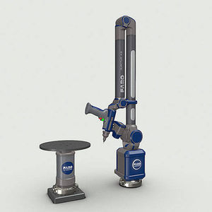
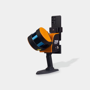
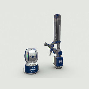
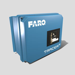
The global leader in target-based 3D Reality Capture powered by the Traceable 3D Reference System
In the last few decades, 3D reality capture has become the preferred method of capturing the as-built condition of any physical asset. Millions of bits of data are converted into 3D point clouds, creating an accurate virtual representation of what was scanned.
But even a modest project can generate hundreds, perhaps thousands of scans, each one requiring point cloud registration. Not only must scans be taken, registered and aligned the first time, but throughout an asset’s lifecycle. It’s in exactly these situations — repeat scanning and repeat alignment — where target-less or cloud-to-cloud registration can run into challenges.
Traceable 3D de-silos data and brings it into a single compatible coordinate system through target-based scanning with specialized mounted targets. It provides a fixed, but re-locatable, anchor point, enabling repeatable scan alignment and ensuring that even the most minute changes in a physical asset are captured.
Business Value
Save time and improve productivity
The technology works with all types of surveying, scanning and metrology equipment. As the need for 3D scanning increases, users can position reference points and update the point cloud as each new scan comes in, documenting even the smallest changes in design layout. This speed and accuracy provides project stakeholders a better overview of the project at hand as changes are implemented. Data from the fieldwork is digitally processed, analyzed and generates new points to be set out.
Catalogs
No catalogs are available for this product.
See all of FARO‘s catalogsRelated Searches
- Laser scanning system
- Measurement scanning system
- 3D scanning system
- Inspection scanning system
- Compact scanning system
- Portable scanning system
- LIDAR scanning system
- Fully integrated scanner
- Mobile scanning system
- Automated scanning system
- Hand-held scanner
- 3D measuring arm
- Color scanner
- Fixed scanning system
- Mapping scanning system
- Portable 3D measuring arm
- Scanner for mining applications
- 3D laser projector
- OEM scanner
- Cost-effective scanner
*Prices are pre-tax. They exclude delivery charges and customs duties and do not include additional charges for installation or activation options. Prices are indicative only and may vary by country, with changes to the cost of raw materials and exchange rates.


