- Robotics - Automation - Industrial IT
- Industrial Software
- Post-processing software
- GreenValley International
Analysis software LIDAR360qualitypost-processingdata management

Add to favorites
Compare this product
Characteristics
- Function
- analysis, quality, post-processing, data management
- Applications
- foundation, alignment
- Deployment mode
- cloud
Description
Point Cloud Post-Processing Software
Framework
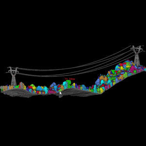
The LiDAR360 Framework lays the foundation for the entire software suite. With TB-level processing power, the Framework contains tools required for effectively interacting and manipulating LiDAR point cloud data. Functions include data management, automatic strip alignment, and point cloud classification. It also allows users to upgrade to application-specific modules such as terrain, ALS/ TLS Forestry, and Geological Analysis. In the latest version 5.0, the powerline module is added to LiDAR360. Users can conduct professional analysis on powerline data, such as classification, danger point detection, and so on.
Advantages
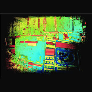
Multi-source Massive Data Visualization
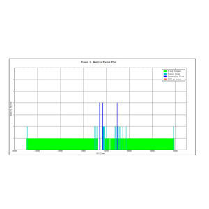
Point Cloud Data Quality Check
Point Cloud Classification
Data Splicing
In-depth Industry Applications
VIDEO
Catalogs
No catalogs are available for this product.
See all of GreenValley International‘s catalogsRelated Searches
- Management software solution
- Analysis software solution
- Process software solution
- Real-time software solution
- Online software
- 3D software solution
- Measurement software
- Quality software
- Visualization software solution
- Automated software
- EDM software
- 2D software
- Reporting software solution
- Data management software solution
- CAM software
- Inspection software
- Construction software
- Product lifecycle management software
- Editing software
- Infrastructure software
*Prices are pre-tax. They exclude delivery charges and customs duties and do not include additional charges for installation or activation options. Prices are indicative only and may vary by country, with changes to the cost of raw materials and exchange rates.


