- Robotics - Automation - Industrial IT
- Industrial Software
- Calculation software
- Hi-Target Surveying Instrument Co.,Ltd
- Company
- Products
- Catalogs
- News & Trends
- Exhibitions
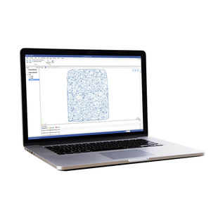
Surveying software PPK GO calculationpositioningmapping

Add to favorites
Compare this product
Characteristics
- Function
- calculation, mapping, positioning
- Applications
- process, surveying
- Type
- 3D
- Operating system
- Windows
Description
Hi-Target PPK GO Precision Add-on enables Phantom 4 RTK drones to achieve the most accurate and reliable camera positioning data in any coordinate system without measure targets or GCPs. With 2cm accuracies on XYZ, the output text file with position information or geotagged images can then be used directly in major photogrammetric mapping or 3D Survey software.
Ultimate Efficiency Reduced Workload
The PPK method makes it possible to perform high-precision aerial photogrammetry with a single or even zero GCP, Eliminating or shortening the duration of the RTK fix loss, which will greatly reduce the time and cost of field operations and ensure accuracy.
Smart Selection of Full Constellation
Using a free selection of GPS/GLONASS/Beidou/ Galileo L1+L2+L5 and further parameter adjustments for position calculation in the PPK process to ensure the most reliable and accurate camera positioning even in poor single satellite system signals.
VIDEO
Catalogs
Other Hi-Target Surveying Instrument Co.,Ltd products
Software
Related Searches
- Management software solution
- Analysis software solution
- Process software solution
- Windows software solution
- Real-time software solution
- 3D software solution
- Interface software
- Industrial software solution
- Calculation software
- Data acquisition software
- CAM software
- Construction software
- Infrastructure software
- All-in-one software
- Mapping software
- Office software
- Post-processing software
- Positioning software
- Data transfer software solution
- Surveying software
*Prices are pre-tax. They exclude delivery charges and customs duties and do not include additional charges for installation or activation options. Prices are indicative only and may vary by country, with changes to the cost of raw materials and exchange rates.


