- Robotics - Automation - Industrial IT
- Industrial Software
- Post-processing software
- Hi-Target Surveying Instrument Co.,Ltd
- Company
- Products
- Catalogs
- News & Trends
- Exhibitions
Geographical data management software HBCprocess analysisinterfacedata acquisition


Add to favorites
Compare this product
Characteristics
- Function
- geographical data management, process analysis, interface, data acquisition, database, post-processing, data transfer, land surveying
- Applications
- industrial, construction, infrastructure, surveying, office
- Type
- 3D, real-time
- Operating system
- Windows
- Other characteristics
- all-in-one
Description
Hi-Target Business Center
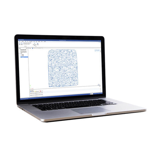
HBC, the all-in-one post-processing desktop software, supports processing multi-sourced data from all kinds of surveying equipment, including RTK, total station, UAV, GIS, 3D laser and levels. This one-stop service simplifies the workflow and improves the efficiency of field data processing. HBC enables users to finish the joint operations of multiple pieces of equipment in projects more easily, enabling users to fix various problems, like switching between lots of different processing software and data results that are not interconnected, as well as complex, cumbersome workflows.
Joint Work
HBC combines all the procedures of field survey:
Preparation: Surveyor organization (team-building management), coordinate system setting, RTK project control point/stake point input, road design and DTM surface design
Field survey: GNSS static survey/RTK survey (surveying control)
Post process: GNSS static data processing, RTK Data processing, TS data processing, post mapping
Data Integration
No need to import and export between multiple software. No need for training, warranty maintenance, or support for different applications from different providers. HBC allows you to do one-stop processing of various data, including GNSS static data, RTK data, total station data, Road file, DTM, base map, etc.
Reliable and Fast Post-processing Engine
With reliable, faster and accurate algorithm, HBC supports batch processing of more than 100 baselines of GPS, GLONASS, Beidou and Galileo static data with predefined coordinate system and multiple manufacture antennas.
Catalogs
Other Hi-Target Surveying Instrument Co.,Ltd products
Software
Related Searches
- Management software solution
- Analysis software solution
- Windows software solution
- Real-time software solution
- 3D software solution
- Measurement software
- Interface software
- Industrial software solution
- Data acquisition software
- CAM software
- Construction software
- Infrastructure software
- All-in-one software
- Office software
- Post-processing software
- Data transfer software solution
- Surveying software
- Process analysis software
- Land surveying software
*Prices are pre-tax. They exclude delivery charges and customs duties and do not include additional charges for installation or activation options. Prices are indicative only and may vary by country, with changes to the cost of raw materials and exchange rates.


