Ground penetrating radar Pegasus Stream
Add to favorites
Compare this product
Description
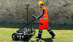
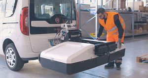
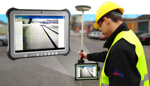
Stream EM in accompaniment with the Leica Pegasus:Two offers a solution that provides an integrated hardware platform for extensive 3D mapping of both underground utilities and surface features in only one scan.
This ground penetrating radar solution allows mobile mass data collection of underground utilities due to the use of a massive array of antennas. At the same time as capturing calibrated imagery and point cloud data, the solution uses:
Laser scanner (or several scanners)
LiDAR technology
GNSS receiver
Inertial Measurement Unit (IMU)
Distance Measurement Instrument (DMI)
Catalogs
No catalogs are available for this product.
See all of IDS GeoRadar‘s catalogsRelated Searches
*Prices are pre-tax. They exclude delivery charges and customs duties and do not include additional charges for installation or activation options. Prices are indicative only and may vary by country, with changes to the cost of raw materials and exchange rates.


