Engineering software GPR-SLICEcreationgraphicanimation
Add to favorites
Compare this product
Characteristics
- Function
- engineering, creation, graphic, animation, imaging
- Type
- 3D, 2D/3D
Description
GPR-SLICE – Ground Penetrating Radar Imaging Software
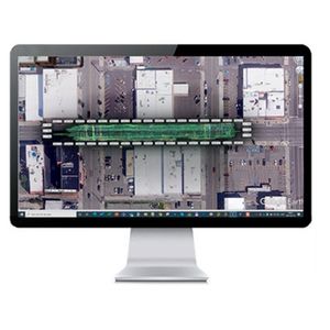
A comprehensive ground penetrating radar imaging software designed for creation of 2D/3D subsurface images for use in a variety of geotechnical, engineering and archaeological applications. Features include:
– 2D/3D time slices
– 3D volume displays, Isosurface Rendering, Fence Plot
– Exportable Animation menu
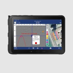
– Split-screen options for time slice/radargram anomaly picking
– Complete customizable multi- time slice and multi-radargram displays in a single graphic dialog
– Easy grid concatenation and appending
– Georeferenced images
– Vector Navigation
– Complete GPS Navigation Integration
and much more….
Catalogs
No catalogs are available for this product.
See all of ImpulseRadar‘s catalogsRelated Searches
- Automation software solution
- Management software solution
- Analysis software solution
- Process software solution
- Windows software solution
- Computer-aided design software
- Control software solution
- Online software
- Design software solution
- 3D software solution
- Measurement software
- Interface software
- Quality software
- Programming software
- Network software solution
- Engineering software
- 2D software
- Creation software
- Calculation software
- Data acquisition software
*Prices are pre-tax. They exclude delivery charges and customs duties and do not include additional charges for installation or activation options. Prices are indicative only and may vary by country, with changes to the cost of raw materials and exchange rates.


