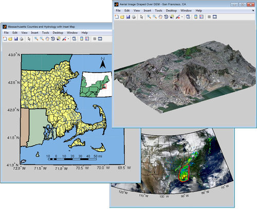
Mapping Toolbox™ provides algorithms and functions for transforming geographic data and creating map displays. You can visualize your data in a geographic context, build map displays from more than 60 map projections, and transform data from a variety of sources into a consistent geographic coordinate system.
Mapping Toolbox supports a complete workflow for managing geographic data. You can import vector and raster data from a wide range of file formats and web map servers. The toolbox lets you process and customize data using trimming, interpolation, resampling, coordinate transformations, and other techniques. Data can be combined with base map layers from multiple sources in a single map display. You can export data in file formats such as shapefile, GeoTIFF, and KML.


