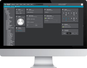
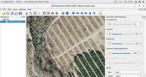
LuciadFusion lets you manage your data intelligently, store and process a multitude of data formats and feed data to numerous applications, putting the power of your data at your fingertips. Features including powerful automatic cataloging and quick and easy data publishing allow you to design, portray, process and set up advanced maps in a few simple clicks.
Why you should choose LuciadFusion
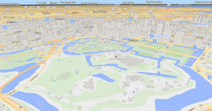
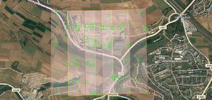
Quickly publish large amounts of geospatial data in OGC standard formats with just a few clicks
Eliminate publication delays, even when receiving new images every hour
Share ECDIS maritime data without hassle using OGC Services
Visualize weather data with temporal information and quickly browse changing weather conditions through time
Display critical elevation data in high-resolution 3D
Share multi-gigabyte shapefiles as WMS without rasterizing them before publishing
Bring line of sight calculations to a web-based application