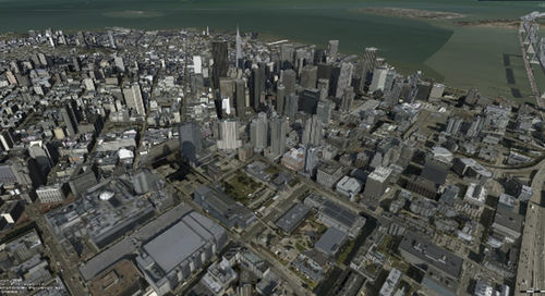
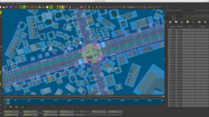
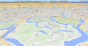
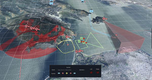
Driven by today’s most advanced web technologies, LuciadRIA uses WebGL, HTML5 and JavaScript to deliver desktop-like performance to your web applications. With LuciadRIA, you can expect high performance and complete accuracy, with desktop-like visualization of satellite and other imagery, vector-based data and dynamic content, such as tracks.
Connect to your data via OGC web services, or simply drag and drop common file formats. The data can then be explored in a 2D or 3D map view or a vertical intersection view. For 4D analysis and a richer picture of what’s happening when, combine it with a timeline view.
Why you should choose LuciadRIA:
Fuse multi-source content into a smart digital reality
Handle real-time dynamic data, such as flights, vessels, or people
Enjoy the interactivity of a desktop solution, including analytics, right in the browser
Deal with data and maps in different projections without extract-transform-load (ETL) processing
Work with defense symbology, including MIL-STD-2525 and APP-6, in a browser application