Static analysis software GrafNav Staticpost-processingqualitynetwork
Add to favorites
Compare this product
Characteristics
- Function
- static analysis, post-processing, quality
- Applications
- network, GNSS reference network
- Operating system
- Windows
Description
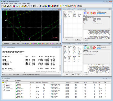
GrafNav Static is a batch static processing package and network. Within minutes, GrafNav Static processes an entire network in a single operation. When the processing is completed, GrafNav Static colour codes the baselines to ensure any problematic vectors are readily distinguished.
Flexible, High Quality Solutions
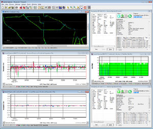
Support for native receiver formats from multiple manufacturers means GrafNav Static will likely work with your existing hardware. Multiple quality control features are built-in so the quality of the solution is never in question. The base station download utility allows access to thousands of publicly available reference stations.
Features
Full dual frequency GPS, GLONASS, BeiDou, Galileo and QZSS support
Improved accuracy through forward/reverse processing
Accurate fixed static solutions and iono-free processing for long baselines
Compatibility with multiple receiver manufacturers for maximum flexibility
Flexible ASCII Export Wizard included
Direct output to Google Earth, RIEGL POF/POQ, DXF, and SBET format
Build HTML QC reports
Benefits
Static network processing
Provides best possible position accuracy, down to the centimetre level
Network Adjustment
Manual and automatic loop closure computations
Enhanced GNSS Accuracy through Post-Processing
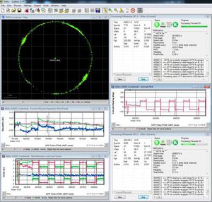
In post-processing applications, the raw GNSS data is collected and stored for use after the mission. GrafNav Static takes advantage of features like local base station differential processing, processing forward and backward in time, and application of precise satellite clock and orbit information in order to generate a much more accurate solution than what may be possible in real time.
Catalogs
No catalogs are available for this product.
See all of NovAtel‘s catalogsRelated Searches
- Analysis software solution
- Windows software solution
- Quality software
- Visualization software solution
- Automated software
- Network software solution
- PLC software
- CAM software
- Mechanical software
- Ethernet software
- Mapping software
- Diagnostic software
- Commercial software
- Post-processing software
- Positioning software
- Surveying software
- Maritime industry software
- Marine software
- UAV software
- Static analysis software
*Prices are pre-tax. They exclude delivery charges and customs duties and do not include additional charges for installation or activation options. Prices are indicative only and may vary by country, with changes to the cost of raw materials and exchange rates.


