Configuration software Inertial Explorer®qualitymappingsurveying
Add to favorites
Compare this product
Characteristics
- Function
- configuration, quality, mapping
- Applications
- surveying, mechanical, marine
- Type
- automated
Description
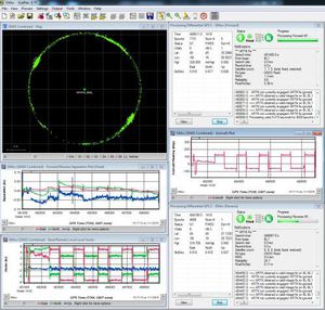
Inertial Explorer® (IE) maximizes the performance of your GNSS/INS hardware by ensuring you get the position, velocity and attitude accuracy your application requires. The tightly coupled integration of GNSS and IMU data delivers precise results, even when lower grade inertial sensors are used. IE can produce results suitable for demanding applications such as mobile mapping, aerial and hydrographic surveying. IMU data from high end Fibre Optic Gyro (FOG) or Ring Laser Gyro (RLG) IMUs, and from lower grade sensor technology such as Micro Electrical Mechanical Systems (MEMS) can be processed.
Flexible Workflow Capabilities
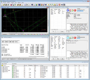
IE has workflows to match your business and your expertise. A project wizard is available to allow new GNSS/INS users to become productive quickly. For more experienced users, a wealth of processing configuration options are available. Automated processing environment detection (aerial, ground vehicle, pedestrian and marine) allows appropriate GNSS + INS processing settings to be used automatically to simplify workflow and reduce the learning curve needed to start producing quality results.
Features
Full dual frequency GPS, GLONASS, BeiDou, Galileo and QZSS support
Configurable support of L1+L2 (includes E5b, B2I) or L1+L5 (includes E5b, B2a) for different applications
Support for up to 32 base stations
Attitude corrections are automatically applied for the effect of the deflections of the vertical using a geopotential model of the Earth based on EGM2008
Boresight module for solving angular offsets between IMU and camera frames
Loosely and tightly coupled GNSS/INS processing
Flexible ASCII Export Wizard included
Catalogs
Waypoint®
12 Pages
SPAN Brochure
12 Pages
*Prices are pre-tax. They exclude delivery charges and customs duties and do not include additional charges for installation or activation options. Prices are indicative only and may vary by country, with changes to the cost of raw materials and exchange rates.


