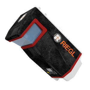
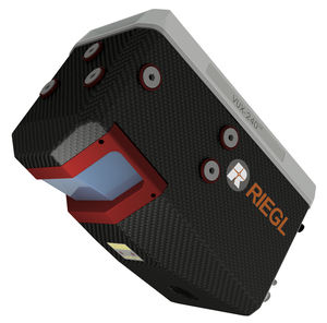
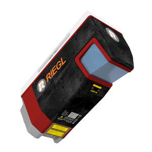
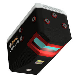
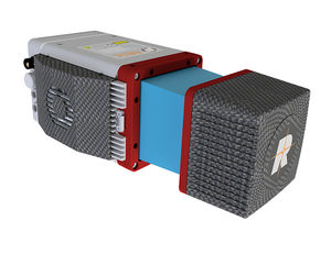
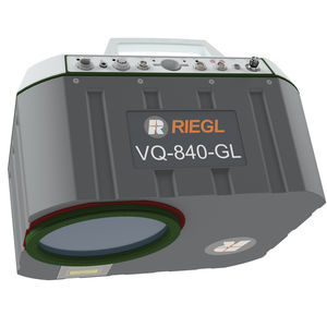
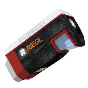
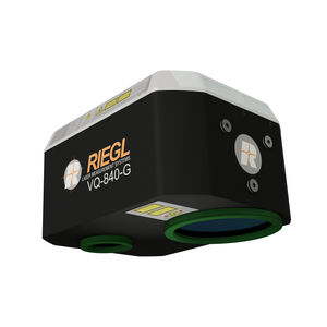
The RIEGL miniVUX-1UAV is an extremely lightweight airborne laser scanner, designed specifically for integration with UAS/UAV/RPAS.
The small and sophisticated design of the stable aluminum housing offers various integration possibilities with platforms that offer restricted space or payload capabilities. The 360° field of view allows complete acquisition of the environment.
An easy-to-remove SD card for data storage, and/or the option for streaming the scan data via LAN-TCP/IP interface, in combination with the modest power consumption of the scanner, enable straight-forward integration with most UAS/UAV/RPAS types.
The RIEGL miniVUX-1UAV makes use of RIEGL’s unique Waveform-LiDAR technology, allowing echo digitization and online waveform processing. Multi-target resolution is the basis for penetrating even dense foliage. As a further special feature, the wavelength is optimized for the mea-surement of snowy and icy terrain.
In addition to the stand-alone version of the miniVUX-1UAV, RIEGL also offers fully-integrated system solutions.
Main Features
Very compact & lightweight (1.55 kg / 3.4 lbs)
360° field of view
Robust aluminium housing, ready to be mounted on multi-rotor, rotary-wing, and fixed-wing UAVs
makes use of RIEGL’s unique echo signal digitization and online waveform processing
Multiple target capability – up to 5 target echoes per laser shot
Scan speed up to 100 scans/sec
Measurement rate 100,000 measurements/sec
Exceptionally well suited to measure snowy and icy terrain
user-friendly, application- and installation-oriented solutions for integration
Main Applications
Agriculture & Forestry
Glacier and Snowfield Mapping