- Products
- GPS vehicle fleet tracking system
- SARTORI AMBIENTE S.R.L.
- Company
- Products
- Catalogs
- News & Trends
- Exhibitions
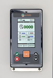
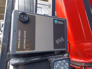
GPS vehicle fleet tracking system Arco10
Add to favorites
Compare this product
Description
The integrated GPS system allows to:
localize the vehicle
check and calculate the different service, transfer and stop times (stops, pauses)
check the collection and emptying of containers
manage information from on-board sensors
check vehicles mileage
Vehicle data is then processed by the data management software and it can be evaluated online.
This user-friendly system is based on the cartography provided by Google Maps, and it supports all the functions provided by Google such as satellite view and street view.
Catalogs
No catalogs are available for this product.
See all of SARTORI AMBIENTE S.R.L.‘s catalogsOther SARTORI AMBIENTE S.R.L. products
Identification systems
*Prices are pre-tax. They exclude delivery charges and customs duties and do not include additional charges for installation or activation options. Prices are indicative only and may vary by country, with changes to the cost of raw materials and exchange rates.


