- Metrology - Laboratory
- Metrology and Test Equipment
- Mapping scanner
- SatLab Geosolutions AB
- Company
- Products
- Catalogs
- News & Trends
- Exhibitions
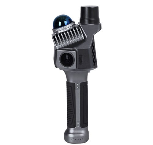
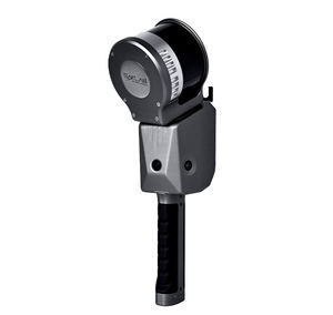
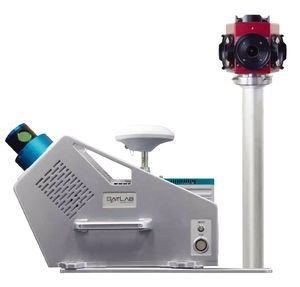
Mapping scanner Cygnus LiteLIDARhand-heldcompact
Add to favorites
Compare this product
Characteristics
- Applications
- for mapping
- Technology
- LIDAR
- Configuration
- compact, hand-held
- Other characteristics
- high-precision, RTK, simultaneous localization and mapping (SLAM)
Description
The lightweight Cygnus Lite handheld LiDAR scanner redefines data collection with its 20° tilt mechanism, dual wide-angle cameras, and an integrated RTK module. It captures unprecedented detail and vibrant color in every scan, ensuring your data is comprehensive and exceptionally accurate.
1. Compact Design, Wider Coverage
The innovative 20° tilt angle lets the laser scanner capture a wider range of scans in its standard handheld configuration, thereby minimizing potential data missing and gaps.
2. Realistic Reconstruction with Cameras
With two 12 MP HD cameras, Cygnus Lite captures clear imagery for point cloud RGB colorization with full field-of-view coverage, delivering highly realistic and detailed 3D reconstructions.
3. Enhanced Accuracy via Built-in RTK
The Cygnus Lite utilizes advanced RTK and SLAM technologies to deliver stable, accurate, and reliable positioning data. It features a high-precision multi-constellation, multi-frequency GNSS module for enhanced performance.
Catalogs
No catalogs are available for this product.
See all of SatLab Geosolutions AB‘s catalogs*Prices are pre-tax. They exclude delivery charges and customs duties and do not include additional charges for installation or activation options. Prices are indicative only and may vary by country, with changes to the cost of raw materials and exchange rates.


