- Robotics - Automation - Industrial IT
- Automation
- RTK receiver
- SMAJAYU(SHENZHEN) CO.,LTD

- Company
- Products
- Catalogs
- News & Trends
- Exhibitions
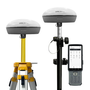
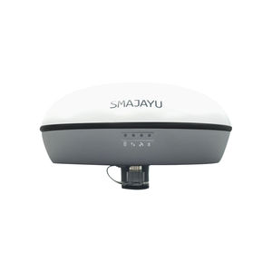
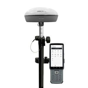
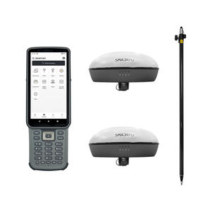
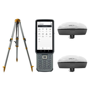
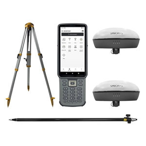
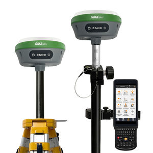
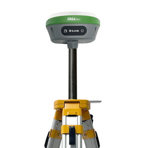
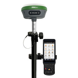
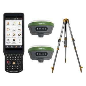
RTK receiver SMA26 RTK+PoleGNSSfor surveyingmulti-channel

Add to favorites
Compare this product
Characteristics
- Type
- GNSS, RTK
- Applications
- for surveying
- Other characteristics
- multi-channel, with integrated antenna, high precision, multi-frequency, multi-constellation, low-power
Description
【IMU】IMU RTK GPS SURVEY EQUIPEMNT SMA26 (included pole), Inertial Navigation RTK Receiver, augments positioning accuracy by accounting for motion and changes in direction 0° -60° Tilt.
【RTK GNSS】RTK technology provides real-time kinematic positioning and navigation, ensuring accuracy even in dynamic environment. High-Precision GNSS Positioning and Orientation Boards contribute to precise data collection and orientation. GNSS board combines RTK technology ensure accuracy 1cm-2.5cm.
【GNSS Full-Frequency】Built-in Beidou/GNSS Full-Frequency Antenna: This antenna receives signals from multiple satellite systems, offering comprehensive coverage for precise positioning. RTK GPS SURVEY EQUIPEMNT SMA26 utilizes various frequency points to enhance accuracy and reliability.
【Wireless Connectivity】Enables seamless communication and data transfer between surveying equipment and collector. Wireless Facilitate communication between base and rover stations, ensuring data synchronization. 2-10km range upon different environment city to open field.
VIDEO
Catalogs
No catalogs are available for this product.
See all of SMAJAYU(SHENZHEN) CO.,LTD‘s catalogsOther SMAJAYU(SHENZHEN) CO.,LTD products
Surveying & Engineering
Related Searches
- GNSS antenna
- IP67 antenna
- GPS antenna
- External antenna
- Radio receiver
- GNSS receiver
- Compact receiver
- Tracking antenna
- Serial receiver
- RTK receiver
- Multi-channel receiver
- GLONASS antenna
- Wireless receiver
- Satellite antenna
- GALILEO antenna
- RS232 receiver
- Receiver with integrated antenna
- Surveying receiver
- GPS receiver
- Bluetooth receiver
*Prices are pre-tax. They exclude delivery charges and customs duties and do not include additional charges for installation or activation options. Prices are indicative only and may vary by country, with changes to the cost of raw materials and exchange rates.

