
- Products
- Catalogs
- News & Trends
- Exhibitions
PV UAV SB4 PHOENIX Seriesfixed-wingaerial photographyinspection

Add to favorites
Compare this product
Characteristics
- Type
- fixed-wing
- Applications
- aerial photography, inspection, monitoring, mapping, for industrial applications, for agricultural applications, observation
- Other characteristics
- lightweight, autonomous, PV
- Endurance
8 h
Description
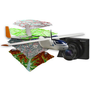
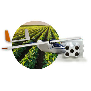
The SB4 is a fixed wing UAV providing actionable geospatial data collected over extensive areas. It is designed to cover a wide range of large scale missions : precision mapping, photogrammetry, surveying, surveillance, inspection and remote sensing. In just a few clicks, the aerial images are transformed in valuable insights such as georeferenced orthomosaics and 3D models. This insightful knowledge enables managers to make quick and precise data-driven decisions.
VIDEO
*Prices are pre-tax. They exclude delivery charges and customs duties and do not include additional charges for installation or activation options. Prices are indicative only and may vary by country, with changes to the cost of raw materials and exchange rates.


