
- Products
- Catalogs
- News & Trends
- Exhibitions
Data acquisition software MAGNET Fielddesigndevelopmentfield instrument configuration
Add to favorites
Compare this product
Characteristics
- Function
- data acquisition, design, development, field instrument configuration, mapping
- Applications
- construction, surveying, instrument
Description
Powerful layout, surveying, and construction workflows in the palm of your hand
Easy to use and learn
3D layout
Data handling
Professional field-based, quality reporting
Map-based workflows
Hybrid GNSS and total stations control
Harness the power of MAGNET Field
MAGNET Field streamlines surveying and construction workflows by providing accurate measurements, data collection, and real-time collaboration.
It integrates seamlessly with other Topcon products and is compatible with more than 50 industry-standard formats, making it a valuable tool for professionals in various sectors. For example, surveyors and construction professionals use MAGNET Field to accurately measure and map land, buildings, and other structures.
Measure, map, and mark points
MAGNET Field controls your GNSS rover to collect points and measurements, lay out or stake job sites, and verify as-built conditions. This data is then available for digital terrain models, contour and surface comparison calculations, and to determine cut and fill volumes.
Control instruments with tablets and Android devices
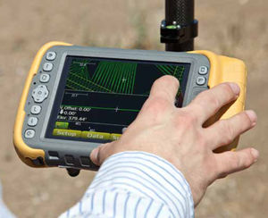
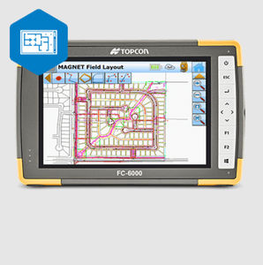
MAGNET Field turns your rugged tablet or compatible Android device into a field controller for Topcon GPS receivers, robotic total stations, scanning robotic total stations, and digital levels.
Use cases
Land surveying, stakeout, and cadastral projects
Construction layout
Roadwork
Utility mapping
Share data between equipment and users in the field or office
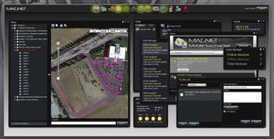
MAGNET Enterprise allows secure project information sharing, including geo-referenced data maps, redline models, and visual stakeout progress.
Catalogs
MAGNET Enterprise Catalogue
9 Pages
DS Direct aiming Station
4 Pages
Exhibitions
Meet this supplier at the following exhibition(s):

Related Searches
- Automation software solution
- Management software solution
- Analysis software solution
- Windows software solution
- Computer-aided design software
- Online software
- Design software solution
- 3D software solution
- Interface software
- Measurement software
- Development software
- Creation software
- 2D software
- Modeling software
- Data acquisition software
- Data analysis software solution
- Construction software
- Verification software
- Instrument software
- Mechanical software
*Prices are pre-tax. They exclude delivery charges and customs duties and do not include additional charges for installation or activation options. Prices are indicative only and may vary by country, with changes to the cost of raw materials and exchange rates.


