
- Products
- Catalogs
- News & Trends
- Exhibitions
Modeling software MAGNET Office mappingdata analysisconstruction
Add to favorites
Compare this product
Characteristics
- Function
- modeling, mapping, data analysis
- Applications
- construction, surveying, instrument, office
- Type
- 3D
Description
Constructible digital terrain models
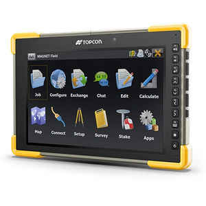
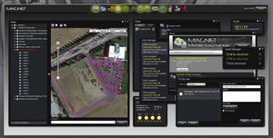
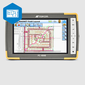
MAGNET Office’s base software lets you combine plans and survey data to build 3D digital-terrain models for site survey and machine control. A common file can be directly shared between machine operators, GPS instruments, grade checkers and project stakeholders for a better-connected project team.
Advanced construction design tools with Site Prep module
The Site Prep module offers design tools for roads, trenches, corridors, intersections, material takeoff, and road resurfacing. The module also helps calculate and visualize material allocations. Tight integrations with 3D-MC, Pocket3D, and Sitelink3D enable machine control data management, grade checking, SmoothRideTM, and other Topcon construction workflows.
Survey module includes MAGNET Tools
The Survey module includes tool sets for surveying and drafting property plots, subdivision designs, and land-development projects. MAGNET Tools allows post-processing and adjusting field-survey data collection from total stations, GNSS equipment, and digital levels. MAGNET Tools also lets you visualize field work in Google Earth™ and directly export the data to popular 3D CAD software.
Catalogs
Exhibitions
Meet this supplier at the following exhibition(s):

Related Searches
- Automation software solution
- Management software solution
- Analysis software solution
- Windows software solution
- Computer-aided design software
- Online software
- Design software solution
- 3D software solution
- Interface software
- Measurement software
- Development software
- Creation software
- 2D software
- Modeling software
- Data acquisition software
- Data analysis software solution
- Construction software
- Verification software
- Instrument software
- Mechanical software
*Prices are pre-tax. They exclude delivery charges and customs duties and do not include additional charges for installation or activation options. Prices are indicative only and may vary by country, with changes to the cost of raw materials and exchange rates.


