
- Products
- Catalogs
- News & Trends
- Exhibitions
CAD software Pathfinder®post-processingdatabasedata transfer
Add to favorites
Compare this product
Characteristics
- Function
- CAD, post-processing, database, data transfer, data export, land surveying
- Applications
- office
- Type
- real-time
- Operating system
- Windows
Description
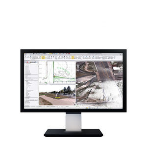
Trimble GPS Pathfinder Office
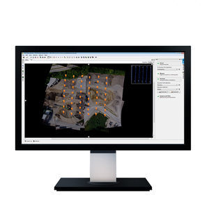
Trimble® GPS Pathfinder® Office software is a powerful and easy-to-use land surveying software package of GNSS post-processing tools, designed to take GNSS data collected in the field and turn it into consistent, reliable, and accurate GIS information
FEATURES AND OPTIONS GNSS accuracy
• Improve GNSS position accuracy through differential postprocessing, including GLONASS postprocessing
• Postprocess real-time differential GNSS data to improve accuracy and consistency
• Review and edit GNSS data before transferring it to a GIS GIS compatibility
• Import data from popular GIS, CAD, and database formats
• Export data into a variety of GIS, CAD, and database formats
• Create data dictionaries to ensure data collected is consistent with GIS schemas
• Additional import and export formats supported via Trimble SSF and DDF data format extensions for FME Field-Office workflow optimization
• Manage data dictionaries and background data for entire fleets of devices
• Automate data transfer from field devices, differential correction, and data export to GIS
• Configure and simplify the TerraSync software interface to increase field worker productivity
Available languages
• Chinese (Simplified) • German • Korean
• English • Italian • Portuguese
• French • Japanese • Russian
• Spanish
Field software options
• Trimble TerraSync software
• Trimble PositionsTM ArcPad extension
• Trimble GPScorrectTM extension for Esri ArcPad software RECOMMENDED PLATFORM Supported operating systems:
• Windows® 8, 10
• Windows 7 Ultimate, Enterprise, Professional, Home Premium (32-bit and 64-bit [EM64T]) SP1 GNSS RECEIVERS AND ACCURACY
Catalogs
Juno 3 Series
2 Pages
Nomad 900G Series Handhelds
2 Pages
Related Searches
- Automation software solution
- Management software solution
- Analysis software solution
- Process software solution
- Windows software solution
- Computer-aided design software
- Control software solution
- Online software
- Real-time software solution
- 3D software solution
- Visualization software solution
- Automated software
- Development software
- Modeling software
- High-performance software solution
- PLC software
- CAM software
- Editing software
- Imaging software
- Office software
*Prices are pre-tax. They exclude delivery charges and customs duties and do not include additional charges for installation or activation options. Prices are indicative only and may vary by country, with changes to the cost of raw materials and exchange rates.


