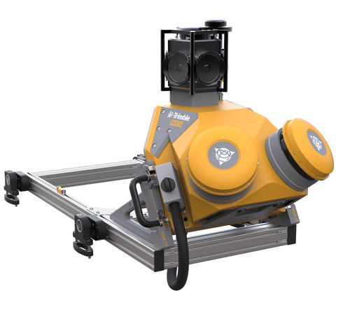
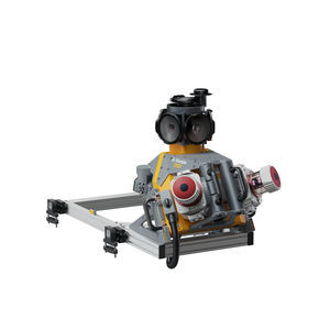
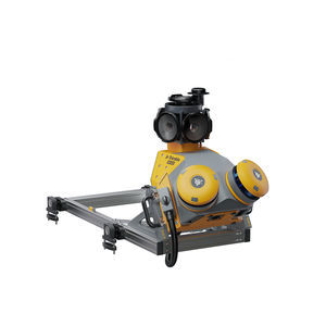
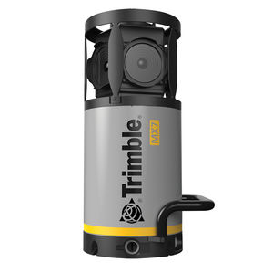
The Trimble® MX50 mobile mapping system delivers accurate point clouds with immersive imagery for easy asset management, mapping and maintenance.
MX50 field-to-finish mobile mapping
Slash work time while harnessing the power of rich, reliable data that you control.
Benefits and performance
Whether you are a new or experienced mobile mapping professional, get ready to experience significant productivity gains with the Trimble MX50.
Take control of your data capture projects
Effortlessly capture, process, extract and share data with proven field‑to‑finish workflows for asset mapping and asset data management.
Highly productive, yet simple to use
Leveraging state-of-the-art Trimble LiDAR technology, Trimble MX50 delivers accurate data together with immersive imagery and efficient workflows needed for substantial gains in productivity.
Key specifications
Powered by a Trimble precise laser system and 360-degree panoramic camera, the MX50 handles data flows seamlessly, at top speed, with high accuracy.
Quickly obtain asset data
High-quality colorized point clouds and 360° immersive imagery with simple, smart device operation and single cable sensor connection.
Process vehicle trajectory
Trajectory data processing using tightly coupled GNSS and inertial data incorporated into Trimble Business Center software.
High-quality deliverables
Create survey, engineering and GIS deliverables using existing data schemas and connect to existing asset databases.
Publish & collaborate
Share for collaboration point clouds and images with overlaid existing asset data. Extract new assets and store them in databases.