Inspection mapping system MX7portablemobile
Add to favorites
Compare this product
Characteristics
- Function
- inspection
- Options
- portable, mobile
Description
Easy mobile image capture system.
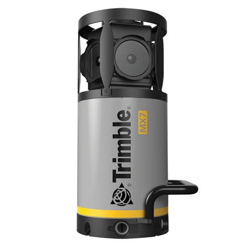
The Trimble® MX7 mobile mapping system makes it easier for your team to manage assets. Collect 360-degree images in the field, then extract and analyze image data in the office. Welcome to the world of mobile imaging.
Key specifications
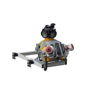
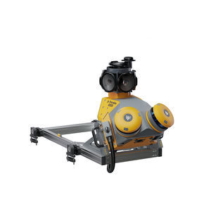
Trimble MX7 quickly and safely captures road, infrastructure and city environmental data in static or mobile positions, up to highway speeds.
Perfect for newcomers
If you are new to mobile mapping, Trimble MX7 is the best mobile imaging device for you. Collect field panoramas, then complete asset management workflows.
Via WiFi-enabled PC or tablet
Use the easy-to-use, intuitive Trimble MX software to set system parameters, manage data recording and plan your project.
Collecting the best images
The MX7 comes complete with six separate 5 megapixel CMOS-sensors and a Trimble Applanix GNSS and inertial georeferencing system.
Do more with Trimble MX software
The optionally included office software enables you to extract, analyze and measure the images you've collected in the field, then publish them online.
Catalogs
No catalogs are available for this product.
See all of Trimble‘s catalogsExhibitions
Meet this supplier at the following exhibition(s):

Related Searches
- GNSS receiver
- Total station
- Precision level
- Surveying receiver
- Reflectorless total station
- Automatic total station
- Digital level
- Total station with prism
- Optical level
- Automatic level
- Robotic total station
- Manual total station
- Monitoring receiver
- Monitoring total station
- Surveying system
- Field controller
- GNSS surveying system
- Portable mapping system
- Rugged field controller
- Mobile mapping system
*Prices are pre-tax. They exclude delivery charges and customs duties and do not include additional charges for installation or activation options. Prices are indicative only and may vary by country, with changes to the cost of raw materials and exchange rates.


