
- Products
- Catalogs
- News & Trends
- Exhibitions
Land surveying software Access Roadsprocess3D
Add to favorites
Compare this product
Characteristics
- Function
- land surveying
- Applications
- process
- Type
- 3D
Description
Finish roading jobs fast.
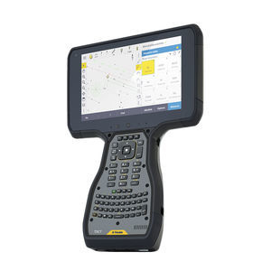
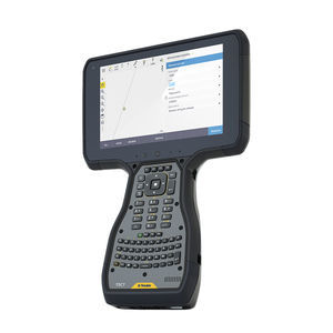
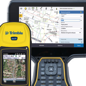
Trimble® Access™ Roads software defines, stakes and reports on roads with a simple, easy-to-use graphical interface specific to roading operations.
Integrated Workflows
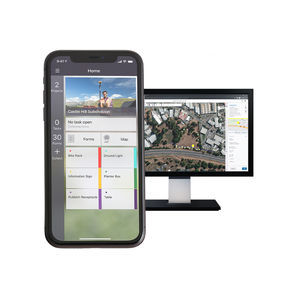
Trimble Access Roads offers integrated map and menu workflows.
Benefits and performance
The easy-to-use graphical interface simplifies road stakeout, enabling quick, easy and flexible switching among stakeout methods.
Easy to use, step-by-step workflow
An intuitive interface guides users through a road stakeout project providing a plan or cross-section view of your road during stakeout.
Intuitive interface
The integrated map and menu workflows allow you to interact with your road design from the 3D map view or through menu driven workflows
Licensing on your terms
With lower upfront costs, our subscription plans allow you to use and scale your licenses flexibly while you benefit from the latest updates.
Key in or upload road
Key in a road definition, or upload an industry standard road file, then review the road design in 3D.
Multiple stakeout options
Stake to a station on a string, the nearest string or a side slope. Apply construction offsets. Redesign in real time.
Stake with integrated surveys
Use GNSS for horizontal positioning, and a total station setup with a tie to elevation control to provide accurate elevation stakeout.
In-field real-time reporting
Generate a report for staked road data in the field to check data or to transfer data from field to office for processing.
Catalogs
Trimble M3
2 Pages
Related Searches
- Automation software solution
- Management software solution
- Analysis software solution
- Process software solution
- Windows software solution
- Computer-aided design software
- Control software solution
- Real-time software solution
- Online software
- 3D software solution
- Visualization software solution
- Automated software
- Development software
- Modeling software
- High-performance software solution
- PLC software
- CAM software
- Editing software
- Office software
- Imaging software
*Prices are pre-tax. They exclude delivery charges and customs duties and do not include additional charges for installation or activation options. Prices are indicative only and may vary by country, with changes to the cost of raw materials and exchange rates.


