
- Products
- Catalogs
- News & Trends
- Exhibitions
CAD software Business Centerprocesssurveyingoffice

Add to favorites
Compare this product
Characteristics
- Function
- CAD
- Applications
- process, surveying, office
Description
Field-to-finish survey CAD software.
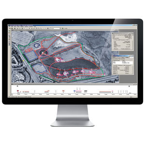
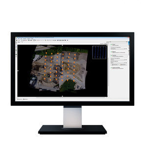
Trimble® Business Center (TBC) software enables surveyors to transform field data from GNSS receivers, total stations, laser scanners, mobile mapping systems, drones and more into high-quality, actionable information and client deliverables.
Start and stay in TBC
Leverage field-to-finish workflows with confidence through traceable data.
Leverage one software environment that delivers the flexibility and capabilities needed for surveyors’ diverse project requirements.
Powerful workflows for superior results
From the industry-leading GNSS baseline processor to dynamic surfaces, point cloud classification and feature extraction, optimize your data and deliverables.
View & adjust raw data in one software
Eliminate unnecessary data exports, correct field blunders, reduce rework and ensure data traceability in a single application.
Licensing on your terms
Our subscription plans come with lower upfront costs and provide you with the flexibility to use and scale your licenses as needed, and benefit from the latest software updates. Choose the plan that best suits your needs, or consider one of our perpetual licensing options.
Work with data, not coordinates
Review and adjust metadata like rod heights and vector quality, and then refine your raw observations with a least squares routine or GNSS post-processing.
Support all survey sensors
Bring your GNSS, total station, digital level, terrestrial scan, UAV, mobile mapping and machine control data into one project environment.
VIDEO
Catalogs
Related Searches
- Automation software solution
- Management software solution
- Analysis software solution
- Process software solution
- Windows software solution
- Computer-aided design software
- Control software solution
- Online software
- Real-time software solution
- 3D software solution
- Visualization software solution
- Automated software
- Development software
- Modeling software
- High-performance software solution
- PLC software
- CAM software
- Editing software
- Imaging software
- Office software
*Prices are pre-tax. They exclude delivery charges and customs duties and do not include additional charges for installation or activation options. Prices are indicative only and may vary by country, with changes to the cost of raw materials and exchange rates.


