- Detection - Measurement
- Position, Speed and Acceleration Measurements
- Lightweight inertial navigation system
- Wuxi Bewis Sensing Tecnology LLC
- Company
- Products
- Catalogs
- News & Trends
- Exhibitions
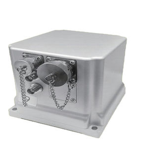
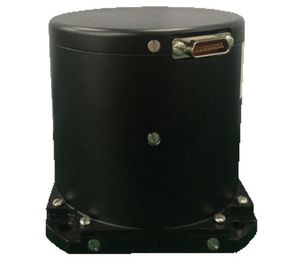
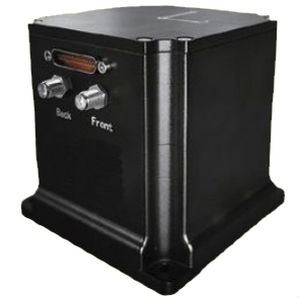
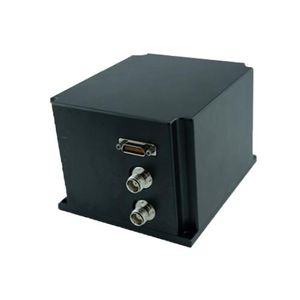
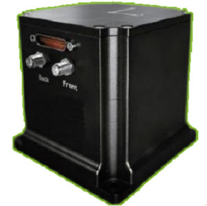
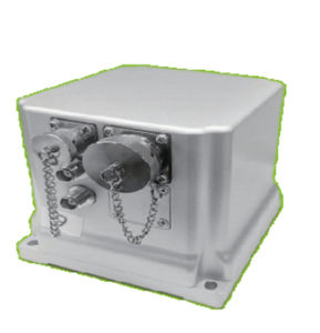
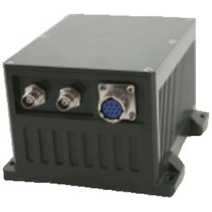
Lightweight inertial navigation system GI1120based on external GPS datahigh-accuracyGNSS
Add to favorites
Compare this product
Characteristics
- Options
- GNSS, high-accuracy, lightweight, based on external GPS data
- Mounting
- built-in, integrated
Description
The BW-GI1120 is a high-performance, high-precision fiber optic integrated navigation system developed by Bewis for the aerial mapping, unmanned aerial vehicles, sea-based and roadbed. Built-in three-axis fiber optic gyroscope, three-axis accelerometer
The BW-GI1120 is equipped with a new integrated navigation sensor fusion algorithm engine. It is optimized for multipath interference and can meet the needs of long-term, high-precision and high-reliability navigation applications in urban and outdoor complex environments. The product supports a variety of sensors such as GNSS / odometer / DVL / barometric altimeter and has excellent scalability. It combines inertial measurement with satellite navigation and odometer information through multi-sensor data fusion technology. These can greatly improve the system's geographical adaptability.
Catalogs
No catalogs are available for this product.
See all of Wuxi Bewis Sensing Tecnology LLC‘s catalogsOther Wuxi Bewis Sensing Tecnology LLC products
Integrated Navigation System
Related Searches
- Acceleration sensor
- Tilt sensor
- Digital tilt sensor
- Dual-axis inclinometer
- Triaxial accelerometer
- MEMS tilt sensor
- Analog tilt sensor
- Single-axis inclinometer
- High-precision tilt sensor
- IP67 tilt sensor
- Industrial acceleration sensor
- MEMS acceleration sensor
- Rugged tiltmeter
- Angle measurement tilt sensor
- High-sensitivity acceleration sensor
- RS-485 tilt sensor
- High-resolution tilt sensor
- Waterproof tilt sensor
- Inertial navigation unit
- Gyroscope
*Prices are pre-tax. They exclude delivery charges and customs duties and do not include additional charges for installation or activation options. Prices are indicative only and may vary by country, with changes to the cost of raw materials and exchange rates.


