Leica software
{{product.productLabel}} {{product.model}}
{{#if product.featureValues}}{{product.productPrice.formattedPrice}} {{#if product.productPrice.priceType === "PRICE_RANGE" }} - {{product.productPrice.formattedPriceMax}} {{/if}}
{{#each product.specData:i}}
{{name}}: {{value}}
{{#i!=(product.specData.length-1)}}
{{/end}}
{{/each}}
{{{product.idpText}}}
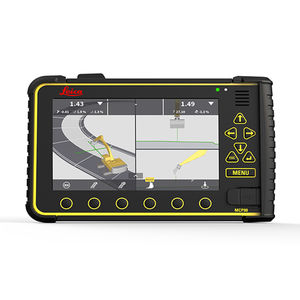
... revolutionising software platform for all machine control solutions. Consolidating all machine applications, Leica MC1 is the one-for-all software solution platform to guide and automate all heavy construction ...
Leica Geosystems

... Infinity is more than a user-friendly geospatial office software for measurement professionals - it’s a productivity powerhouse connecting field and office like never before. In one intuitive software, ...
Leica Geosystems
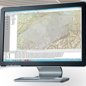
... making your business a success. The Spider Software Suite is the first web-based solution for managing real-time and post-processing services. Operators and users can now easily access the Spider Software ...
Leica Geosystems
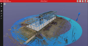
The Leica TruView family is the industry leader for easily and intuitively sharing point cloud data, design models, mark-ups, and more. Leica TruView products are the smarter way for anyone in your project ecosystem to access, view, analyse ...
Leica Geosystems

Leica CloudWorx for Bentley is the most efficient and popular plug-in software for using as-built point cloud data – captured by laser scanners – directly within Bentley MicroStation, AECOsim Building Designer and OpenBuildings ...
Leica Geosystems
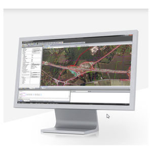
... . The successes of these tasks depend on assured integrity of the applied design data. Leica iCON office data preparation software offers a complete preparation, editing and reporting toolkit that fulfils all the need ...
Leica Geosystems
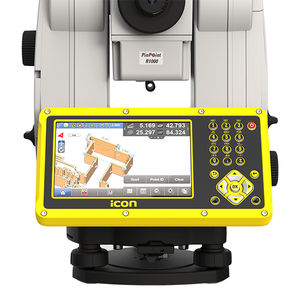
... build construction software provides versatility and flexibility for field crews to conduct layout, as-built and verification tasks on projects. Improve speed, performance and accuracy with just one custom built construction ...
Leica Geosystems
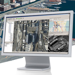
... proficient in one simple user interface to produce any known airborne data product. Don’t waste time moving your data from one software to the other, but benefit from one end-to-end workflow. Unprecedented data throughput ...
Leica Geosystems

... operating systems. Combining with Zeno Connect. Adding your favourite Apps. Software development kit for seamless GNSS integration The Leica Zeno Connect Software Development Kit (SDK) is ...
Leica Geosystems
Transfer any measurement value to any application Use DISTO transfer in the background to transfer measurement values to the active cursor position. This way you can transfer values into CAD programs or into Excel. When using ...
Leica Geosystems
Your suggestions for improvement:
Receive updates on this section every two weeks.
Please refer to our Privacy Policy for details on how DirectIndustry processes your personal data.
- Brand list
- Manufacturer account
- Buyer account
- Our services
- Newsletter subscription
- About VirtualExpo Group


Please specify:
Help us improve:
remaining